Free · no account · nothing stored
Make your visited countries map
Tick the places you have been, see your count, and download a picture for Instagram, Facebook or a story. Choose the whole world, Europe, or one country divided into its own regions.
213 countries have their own map of states, provinces or districts. Browse all countries
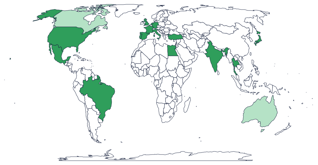 15 of 241 countries · 6%
The world241 countries and territories
15 of 241 countries · 6%
The world241 countries and territories
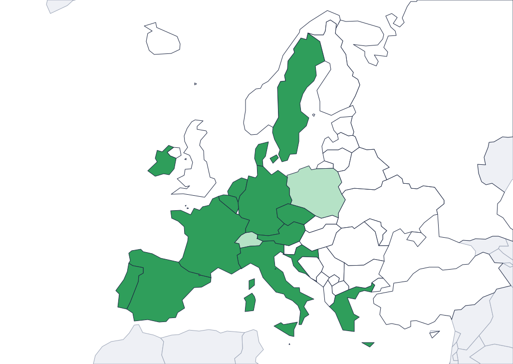 Europe52 countries on one map
 United States of America51 states
 United Kingdom232 areas
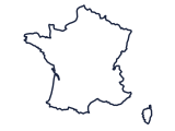 France101 departments
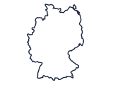 Germany16 states
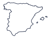 Spain52 provinces
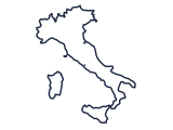 Italy110 provinces
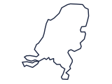 Netherlands15 provinces
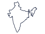 India36 states and territories
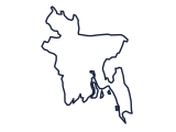 Bangladesh64 districts
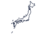 Japan47 prefectures
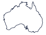 Australia11 states and territories
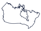 Canada13 provinces and territories
How it works
Three steps, no sign-up
-
Pick a map
The world, Europe, or a single country divided into its states, provinces or districts.
-
Tick where you have been
Tap places on the map or tick them in the list. Your count and percentage update as you go.
-
Download and share
Add your name, pick a colour, and save a square post or a story-sized picture.
All countries
One country, its own regions
Open a continent to find a country. Each map is divided into the units people actually travel by.
Africa 56
- Algeria 48 provinces
- Angola 18 provinces
- Benin 12 departments
- Botswana 15 districts
- Burkina Faso 45 provinces
- Burundi 17 provinces
- Cabo Verde 22 regions
- Cameroon 10 provinces
- Central African Republic 17 prefectures
- Chad 22 prefectures
- Comoros 3 regions
- Democratic Republic of the Congo 11 provinces
- Djibouti 6 regions
- Egypt 27 governorates
- Equatorial Guinea 7 provinces
- Eritrea 6 regions
- Eswatini 4 districts
- Ethiopia 11 administrative states
- French Southern and Antarctic Lands 4 regions
- Gabon 9 provinces
- Gambia 6 divisions
- Ghana 10 regions
- Guinea 34 prefectures
- Guinea-Bissau 9 regions
- Ivory Coast 19 departments
- Kenya 8 provinces
- Lesotho 10 districts
- Liberia 15 counties
- Libya 22 regions
- Madagascar 22 autonomous provinces
- Malawi 28 districts
- Mali 9 regions
- Mauritania 13 regions
- Mauritius 16 regions
- Morocco 16 regions
- Mozambique 11 provinces
- Namibia 13 regions
- Niger 8 departments
- Nigeria 37 states
- Republic of the Congo 12 regions
- Rwanda 5 provinces
- Saint Helena 3 regions
- São Tomé and Principe 2 regions
- Senegal 14 regions
- Seychelles 26 regions
- Sierra Leone 4 provinces
- Somalia 13 regions
- South Africa 9 provinces
- South Sudan 10 states
- Sudan 17 states
- Tanzania 30 regions
- Togo 5 regions
- Tunisia 23 governorates
- Uganda 112 districts
- Zambia 10 provinces
- Zimbabwe 10 provinces
Antarctica 1
- Antarctica 2 regions
Asia 51
- Afghanistan 34 provinces
- Armenia 11 provinces
- Azerbaijan 78 districts
- Bahrain 5 governorates
- Bangladesh 64 districts
- Bhutan 20 districts
- Brunei 4 districts
- Cambodia 24 provinces
- China 32 provinces
- Cyprus 5 districts
- East Timor 13 regions
- Georgia 12 regions
- Hong Kong 18 regions
- India 36 states and territories
- Indian Ocean Territories 2 regions
- Indonesia 33 provinces
- Iran 31 provinces
- Iraq 18 provinces
- Israel 6 districts
- Japan 47 prefectures
- Jordan 12 provinces
- Kazakhstan 16 regions
- Kuwait 6 provinces
- Kyrgyzstan 8 regions
- Laos 17 provinces
- Lebanon 6 provinces
- Malaysia 16 states
- Maldives 21 atolls
- Mongolia 22 provinces
- Myanmar 14 regions
- Nepal 14 administrative zones
- North Korea 11 provinces
- Oman 11 regions
- Pakistan 8 regions
- Palestine 2 regions
- Philippines 118 provinces
- Qatar 7 municipalities
- Saudi Arabia 13 regions
- Singapore 5 regions
- South Korea 17 regions
- Sri Lanka 25 districts
- Syria 15 provinces
- Taiwan 21 counties
- Tajikistan 5 regions
- Thailand 77 provinces
- Turkey 81 provinces
- Turkmenistan 5 provinces
- United Arab Emirates 9 emirates
- Uzbekistan 14 regions
- Vietnam 63 provinces
- Yemen 21 governorates
Europe 44
- Åland Islands 11 regions
- Albania 12 counties
- Andorra 7 regions
- Austria 9 states
- Belarus 7 regions
- Belgium 11 provinces
- Bosnia and Herzegovina 18 regions
- Bulgaria 28 provinces
- Croatia 21 counties
- Czechia 14 regions
- Denmark 5 regions
- Estonia 15 counties
- Finland 18 provinces
- France 101 departments
- Germany 16 states
- Greece 14 regions
- Hungary 43 regions
- Iceland 9 regions
- Ireland 34 counties
- Italy 110 provinces
- Kosovo 30 districts
- Latvia 119 municipalities
- Liechtenstein 11 regions
- Lithuania 10 counties
- Luxembourg 3 districts
- Malta 68 regions
- Moldova 40 districts
- Montenegro 21 municipalities
- Netherlands 15 provinces
- North Macedonia 84 statistical regions
- Norway 21 counties
- Poland 16 regions
- Portugal 20 districts
- Romania 42 counties
- Russia 86 regions
- San Marino 9 regions
- Serbia 25 districts
- Slovakia 8 regions
- Slovenia 193 regions
- Spain 52 provinces
- Sweden 21 counties
- Switzerland 26 cantons
- Ukraine 25 regions
- United Kingdom 232 areas
North America 30
- Anguilla 15 districts
- Antigua and Barbuda 8 parishes
- Bahamas 30 districts
- Barbados 11 parishes
- Belize 6 districts
- Bermuda 11 regions
- Canada 13 provinces and territories
- Costa Rica 7 provinces
- Cuba 16 provinces
- Dominica 10 parishes
- Dominican Republic 32 provinces
- El Salvador 14 departments
- Greenland 6 regions
- Grenada 7 parishes
- Guatemala 22 departments
- Haiti 10 departments
- Honduras 18 departments
- Jamaica 14 parishes
- Mexico 33 states
- Montserrat 3 parishes
- Nicaragua 17 departments
- Panama 12 provinces
- Saint Kitts and Nevis 14 parishes
- Saint Lucia 11 quarters
- Saint Pierre and Miquelon 2 communes
- Saint Vincent and the Grenadines 6 parishes
- Trinidad and Tobago 16 regions
- Turks and Caicos Islands 6 regions
- United States of America 51 states
- United States Virgin Islands 3 regions
Oceania 19
- American Samoa 5 regions
- Australia 11 states and territories
- Cook Islands 11 regions
- Fiji 5 divisions
- French Polynesia 5 regions
- Kiribati 2 regions
- Marshall Islands 2 regions
- Micronesia 4 regions
- Nauru 14 regions
- New Caledonia 3 provinces
- New Zealand 24 regions
- Northern Mariana Islands 4 regions
- Palau 16 regions
- Papua New Guinea 20 provinces
- Samoa 11 regions
- Solomon Islands 10 provinces
- Tonga 5 regions
- Vanuatu 6 provinces
- Wallis and Futuna 3 regions
FAQ
Good to know
Is it really free?
Yes. There is no account, no sign-up and nothing to pay. The map and the picture you download are yours to post anywhere.
Where is my map stored?
Only in your own browser (local storage on this device). We never receive your ticks, so they are not on any server and do not follow you to another device.
How do I share it on Instagram or Facebook?
Download the picture (square for a post, story size for Stories), then post it like any photo. On a phone you can use the share button to send it straight to an app.
How many countries are there?
The world map lists every country and territory drawn by Natural Earth, so the count is higher than the 193 UN members. Your percentage is worked out against that full list.
Can I mark the regions inside a country?
Yes. Open any country from the list to tick its states, provinces, departments or districts; a partly ticked country shows in a lighter shade on the world map.
Been somewhere new?
Mark it on your map, then let the planner find your next stops.